Photo Mapping the Canals with Maptime Amsterdam
We have been organizing photo walks in different parts of the world, some of them in places where there has been little coverage like the country of Lesotho in Africa, some in more covered places like Sevilla during OSGeoCamp or mapping around the Vrije Universiteit Brussel during State of the Map 2016 in Brussels.
Photo walks have been a great activity for the community, creating the excuse to get together and map places where the community is interested in capturing street-level photos of the surrounding environment.
For places like Guadalajara (Mexico) where mobility is becoming an issue there are local associations such as Liga Peatonal who are relying on photo walks to build a case for better services for citizens with disabilities, so they have used initiatives from the local OpenStreetMap chapter such as #Mapeaton to get the community together and photo map an area.
Canal mapping in Amsterdam
A few weeks a go through an invitation from the Maptime chapter in Amsterdam, we had the opportunity to organize a photo walk in the beautiful capital city of the Netherlands. So Mapillary Ambassador Shravan Shah who is based in Amsterdam coordinated with the community to have FabLab Amsterdam host the event in the heart of the city.
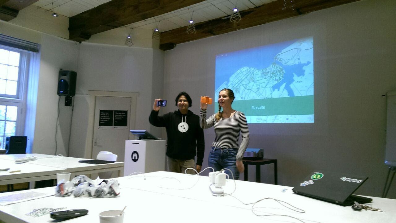
 Presenting Mapillary at the event (photo credit: Alice from MaptimeAMS)
We wanted to share what has being going on with our community efforts in Latin America since it is not always well-documented what the issues are with pushing the adoption of computer vision technologies in less developed countries and, more importantly, how it is making an impact on the local communities.
So I talked about the presentation we did at State of The Map Latin America 2016, where I touched on specific themes such as our collaboration with IMPLAN Tepic and our adventures in La Habana, Cuba. But more importantly, how the Scouts in Colombia are mapping areas that are prone to landslides.
Photo mapping with a 360° camera
We had at our disposal an LG 360 camera for the mappers to experience how easy it is to create 360° street-level photos of Amsterdam. I used a GoPro and another participant had a Garmin Virb X action camera, so we could capture traces of street-level photos of the Amsterdam canals.
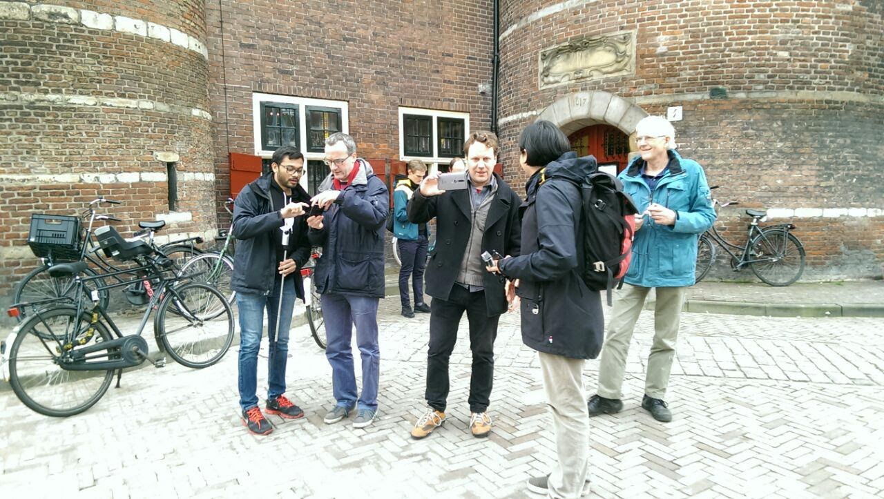
We had five teams that began mapping from Waag Speeltuin and then distributed around the neighborhood of Uilenburg to map the surrounding areas. Since Amsterdam attracts a lot of tourists, we avoided zones that were full of people so I, a tourist myself, had the opportunity to explore the lesser known areas of the capital city.
 Setting off for the photo walk (photo credit: Alice from MaptimeAMS)
After 30 to 40 minutes of walking around we returned to FabLab Amsterdam to upload our pictures and I had the opportunity to explain about the future of computer vision and what the Mapillary team is doing in the computer vision lab in Graz, Austria.
This was a chance to let mappers know that more tools are on the way to build better maps by identifying objects in a photo and giving a better understanding of the context around all the areas on the map.
I would like to thank Alice, Shravan, and Niene, who provided all the support to make this photo walk happen. I hope that it will just be the beginning of many more events to happen in Amsterdam.
Happy mapping!
/Claudio
