Volcano Mapping: Ascending el Bosque del Niño

Read the sequel to the adventures of the Costa Rican Mapperspace group as they capture and map the nature of Costa Rica in "the Forest of the Child". This is a guest post by Allan Esquivel, which he translated from his original post.
The day started slow, a few alarms on snooze and moving around between the sheets. We had decided to come back the Poás Volcano, but this time we'd take another route. This time we'd go from the reserve called el Bosque del Niño (meaning the Forest of the Child).
A few bumps on the road, a coffee and some pizza bread started to define our journey in the car. We arrived at 10 a.m., after leaving behind a few cars with sounds and smells of struggle to get to their destination.
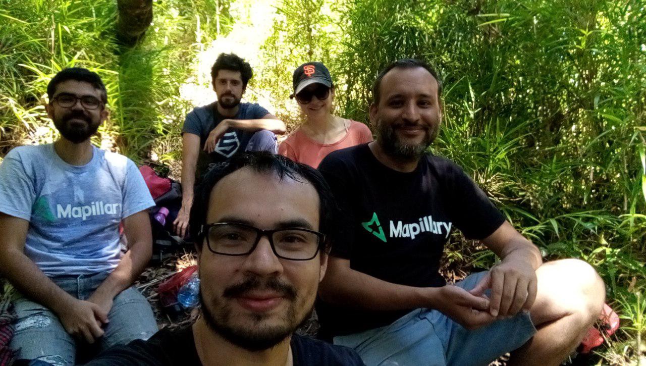
Once in the parking lot of the Bosque del Niño, we carried out our varied tools like the last time. A fully charged GPS, cellphones with Mapillary and OSMAnd installed, and a 360° camera. Also snacks. With this, we intended to photograph the trails of the forest.
Mapillary lets us capture the trails and roads with georeferenced markers. With this function, we hope that anyone, anywhere in the world with access to the internet can make personal use of the images and data. And why not? Take a virtual tour to places where only we would get into.
We started with the first trail that led to the waterfalls of the reserve. With our star biologist Carlos Bolaños, we learned some fun facts, like the origin of the name from a reforestation project led by children, and also some information on the flora and fauna of the area.
We took photos of the signs and warnings that we saw on the road. Now every person that wishes to do better planning for the trip can do so. No doubt the terrain was rough, but the water spectacle was worth every step. By mapping the road we contribute to the community of Mapillary, plus give information on the state of the trail, like if it is blocked and which obstacles people would have to face.
Right after that, we started walking to the Poás Volcano; the road to the top awaited us. We were hiking dusty roads, tall trees, fallen logs and some obstacles on the way.
The trail climbed higher and higher. With the GPS we were able to register the elevation of the terrain and the exact distance between different points. After approximately two hours we arrived at the breaking point, the place were several of our cellphones ran out of energy. Here we learned that for trips this long, taking turns between the people who are mapping can turn out to be handy.
The hour and the day kept getting late. We couldn't get to the end of the road, but that didn’t really matter. Between sweat and fatigue, we had accomplished taking photos of most of the road to register the importance of this trail, hoping that the data is going to be useful not only for Costa Ricans, but for everyone interested in knowing a little bit more about the Poas Volcano.
Once the trip ended, we used the same methodology as after the last trip. Everyone uploaded their photographs and can now add the information that they consider to be important. It was certainly an unforgettable experience. We need to start training for the next trip, and aim high... To map the route to the Chirripó, the highest peak in Costa Rica.
The Poas Volcano just had its biggest eruption in decades, with no casualties but the national park around it has been closed for now for safety reasons (here is the news). We are glad that our mapper friends picked a lucky time for visiting the area and managed to document the place pre-eruption.